EARL BAKKE · FOUNDER · STILLWATER , MINNESOTA
TWENTY FIVE YEARS OF SCENES. THEN THE DRONE.
Many drone providers begin with the aircraft. ScenePhoto360 began with the need for better evidence, clearer documentation, and more useful visual information. Built on investigative and forensic experience, we use aerial imaging, mapping, thermal data, and 3D reconstruction to help legal, insurance, public-safety, and technical professionals understand what happened and explain it clearly.
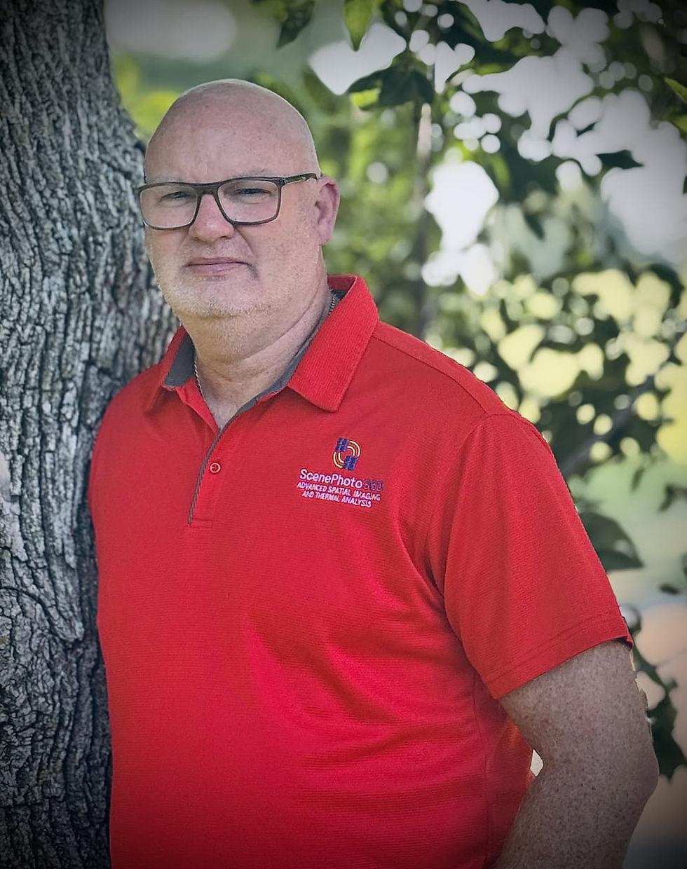
This combination is what defines the business. Many professionals hold a Part 107 certificate. Fewer combine it with Level II thermography training and firsthand experience testifying in criminal and civil cases about scene documentation. ScenePhoto360 brings those disciplines together—aviation, thermal interpretation, forensic documentation, and courtroom-ready visual evidence.
HOW THIS HAPPENED
THE CREDENTIAL WASN'T THE PLAN. IT WAS THE RESULT.
The goal was never to become the drone operator attorneys call. The goal was to find better ways to document scenes, preserve evidence, and make complex information clear. Aerial imaging became an obvious tool because the underlying investigative work demanded it.
20 Years
LAW ENFORCEMENT
ACCIDENT INVESTIGATION AND CRASH RECONSTRUCTION
Five additional years investigating insurance claims tied to crash cases extended that record to 25 years of combined investigative work before the drone ever entered the picture.
Testified
CRIMINAL & CIVIL
ON THE STAND, EXPLAINING HIS OWN PHOTOGRAPHS
Having documentation examined by someone paid to discredit it is a specific education. It teaches you what a capture record needs to contain, why method matters more than equipment, and exactly which frame an opposing expert will go after first.
10 Years
FORENSIC IMAGING
IMAGING AS A DISCIPLINE, NOT A SIDE SKILL
A decade in drone work, the last seven in commercial ops — What started as an extension of investigative fieldwork became a dedicated discipline: the last seven years spent exclusively on commercial sUAS operations, refining the same standards that applied to scene documentation on the ground.
LEVEL II CERTIFICATION AND THE VOLUME BEHIND IT
Crash scenes, residential, commercial, and interior work — Four hundred fifty-plus missions — crash-scene models, residential inspections, commercial building imaging, and interior virtual tours — logged over 375-plus flight hours. This isn't a new pilot's number; it's what turns certification into pattern recognition across every sensor in the case.
450+
FORENSIC/INSPECTION MISSIONS
Today
SCENEPHOTO360, LLC
FOUR SENSORS, ONE STANDARD, FIVE PROFESSIONS
LiDAR, radiometric thermal, photogrammetry, and interior scanning — run out of Stillwater across Minnesota and Wisconsin, for anyone whose data has to survive the person who reads it next.
VERIFIABLE , NOT DECORATIVE
FOUR CREDENTIALS. ALL OF THEM CHECKABLE.
FAA PART 107
Remote Pilot Certificate with current night operations authorization. Verifiable in the FAA airman registry.
OSHA Safety Certification
OSHA-trained for hazard recognition and safe operations on construction sites, commercial roofs, and active industrial environments.
LEVEL II THERMOGRAPHER
Certified to interpret and sign thermal findings — not merely to capture them. The distinction is the service.
Minnesota Licensed Business
Licensed to operate as a commercial business in Minnesota, meeting state requirements for professional client engagements.
MNDOT AERONAUTICS
Registered for commercial UAS operations in the state of Minnesota.
RF / Cell Tower Safety
Certified for safe operation near RF-emitting infrastructure — cell towers, utility equipment, and other high-exposure sites.
INSURED
Commercial aviation liability coverage. Certificate available on request before any engagement.
Crash Reconstruction & Trauma Care
IPTM-trained in crash reconstruction, combining RN and Paramedic expertise with clinical insight into scene analysis and injury mechanisms.
20 Years
Law enforcement & crash reconstruction
Level II
Certified thermographer
450+
Missions Completed
10 Years
Years sUAS / drone operations
Part 107
Night ops · MnDOT Aeronautics registered
WHAT'S IN THE CASE
EQUIPMENT MATTERS LESS THAN METHOD. IT STILL MATTERS.
Anyone can rent this hardware. The reason it's listed is so you know the deliverable is real before you call, not because the drone is the value.
AERIAL · RTK
RTK-equipped aircraft standard on mapping flights — centimeter-level positioning without ground control on most sites
PROCESSING
DJI Terra · Agisoft Metashape Pro · RealityCapture · QGIS. Point cloud classification and cleanup in house.
SENSORS
Radiometric thermal, high-resolution visible, and LiDAR. Multiple instruments, chosen per question.
DELIVERY
LAS · LAZ · E57 · GeoTIFF · DEM/DTM. Your format, your naming convention. 3D models and virtual tours hosted 60 days at no cost.
NEXT STEP
THE FIRST CALL, ANSWERS ALL YOU NEED.
Bring the question, not the specification. Working out which instrument answers it is the part we're actually good at.